Does it work when it's cloudy?
Nordic skies are overcast 40–60% of the growing season. Freyr fills short cloudy gaps by interpolating between the clear passes either side. For wider gaps it derives an estimate from Sentinel-1 radar, which cloud does not block. Both are labelled as estimates and never presented as direct measurements. Neither is AI-generated — they are rule-based calculations from measured data.
Where is my farm data stored?
All data is processed and stored within the European Union, on infrastructure operated by Finnish and German providers. Freyr is run by Arcteon Oy, registered in Helsinki. Your farm data never leaves European jurisdiction.
Which equipment can I export variable rate maps to?
Freyr exports in ISO-XML and Shapefile formats, compatible with most major terminals: John Deere Operations Center, CNH AFS Connect, AGCO Connect, and Kverneland Group. If your terminal reads standard precision farming formats, it reads Freyr.
What's included in the 14-day free trial?
Full Pro access to your fields for 14 days. No card is needed to start. When the 14 days are up you decide whether to stay — if you do, you pay one annual price for your farm size, by bank transfer or card, whichever suits you.
What if my farm is bigger than my plan?
Freyr sizes your plan from the fields you add. The size your farm falls into, and the price that goes with it, are shown to you before you pay — so there is never a surprise, and you are never underpaying by accident.
How accurate is the satellite field health data?
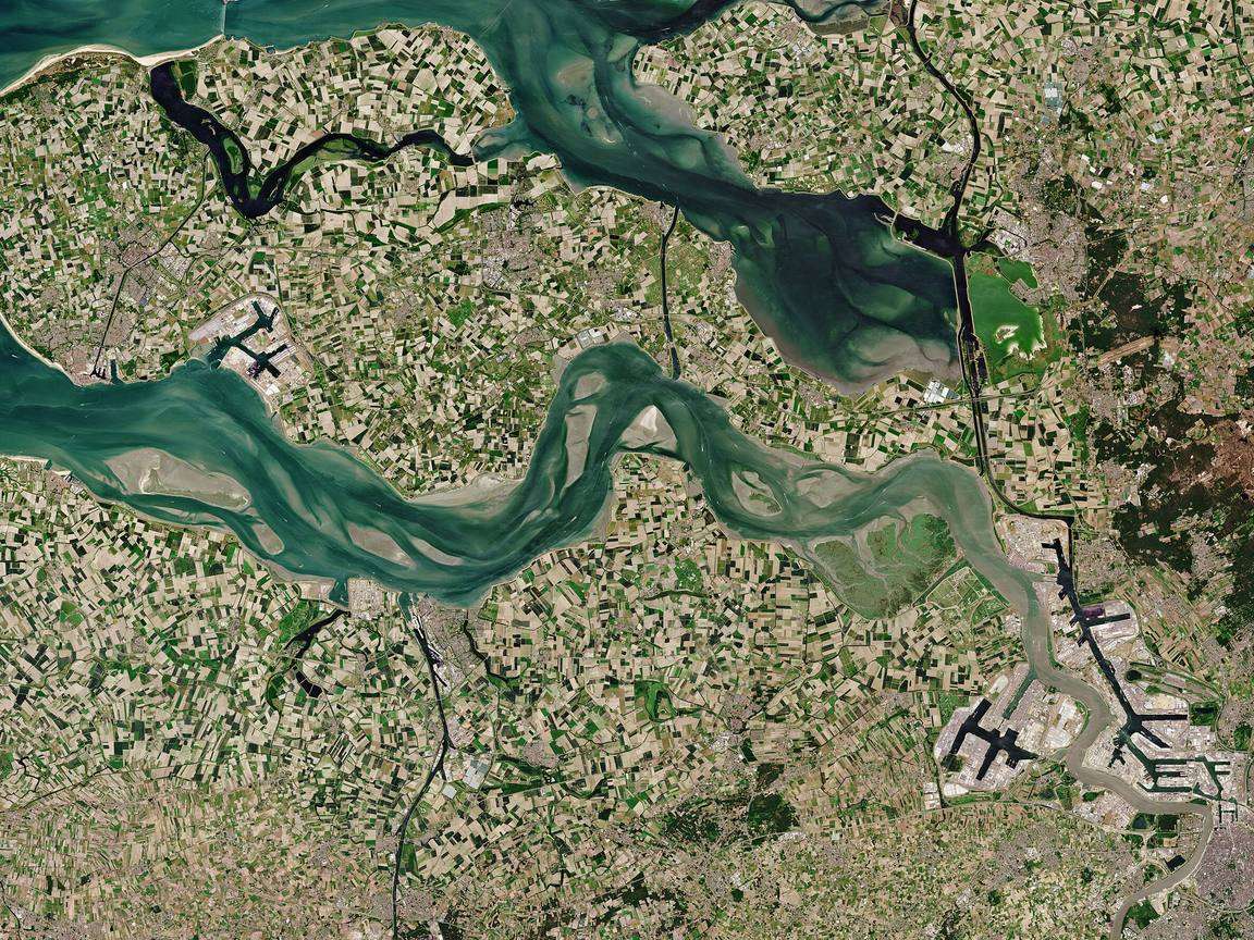
Freyr uses 10-metre resolution imagery from the ESA Copernicus Sentinel-2 programme — the same data standard used by European agricultural research institutions. NDVI and vegetation indices are validated against reference datasets and refreshed with each satellite pass.
Do I need to install sensors or hardware?
Nothing. No sensors, no hardware, no installation. The fastest way to add your fields: drop a pin on the map, choose how far around it to search (in km), and Freyr finds your parcels directly from the Ruokavirasto field registry — the quickest way to get set up. Prefer to do it by hand? You can also draw a boundary on the map or upload an existing shapefile. Everything else is handled by satellite and Finnish Met data.
How often are my fields updated?
Under clear skies, most Nordic fields get a fresh optical pass every 3–5 days. During long overcast spells, Freyr shows radar-based estimates (flagged) so you still have an indication.